


 will be held in Guangzhou, Shanghai, Chengdu and Beijing")


A new way to monitor the flow of rivers from satellites could provide a valuable early warning system for flood risk, scientists say.
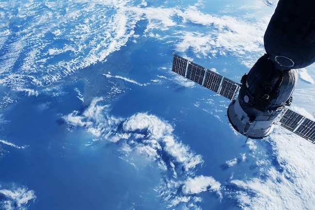
University of Glasgow researchers have developed the first method of measuring the speed of river flows by analysing video footage captured from orbit.
Their analysis techniques could replace or enhance the way governments and land managers currently monitor rivers, and improve the ways that floods are predicted.
In the future, their research could help mitigate the impact of flooding on communities around the world as climate change makes unpredictable weather events more common.
The researchers, from the University of Glasgow’s School of Geographical & Earth Sciences, outline their breakthrough in a paper published in the journal Geophysical Research Letters.
Currently, river flows are most often measured using stream gauges, which directly take stock of the volume of water flowing past a particular point in a river every second – a measurement known as discharge. However, stream gauges are expensive to install and maintain, and difficult to place in remote areas.
While stream gauges provide detailed measurements of river discharge at specific points, satellites equipped with video sensors provide a much broader visual overview of large areas of land. That makes them useful for monitoring geographical changes over time and providing real-time information on the spread of floods.
However, until now, it has been impossible to use satellite video footage to accurately measure the flow of rivers and floods.
In the paper, the team demonstrate how they used video footage from a Chinese satellite to measure the discharge of a February 2022 flood along a 12-mile section of the Darling River in Tilpa, Australia.
They developed techniques to track and analyse the movement of visible surface features between frames in the video footage, which helped them estimate the speed of the flow of the water.
By combining the flow estimates with detailed elevation maps of the flooded area, they were able to estimate the flow discharge to within 15% of real measurements taken by stream gauges on the river during the flood.
Christopher Masafu, a PhD student in the University of Glasgow’s School of Geographical & Earth Sciences, is the paper’s corresponding author. He said: “Close to 30% of the world’s population is exposed to flood risk and threats to the availability of fresh water.
“Despite that, many rivers don’t have stream gauges or other measurements in place, which limits how much we can learn about their flows and any potential risks they may pose to local populations during heavy rains.
“Satellites can be deployed anywhere around the world relatively cheaply and easily compared to the cost and effort of physically gauging all of those unmonitored rivers. However, their potential to measure river flows hasn’t been fully shown until this research, which is a really exciting breakthrough.”
Professor Richard Williams is a co-author of the paper and Christopher’s PhD supervisor. He said: “Satellites give us the ability to monitor rivers in real time from a high vantage point, and being able to watch them swell and flood during heavy rains can be very helpful in emergencies.
“What this technology allows us to do is mine that real-time video monitoring for even more useful information. That could help provide improved forecasts and warnings to help with on-the-ground planning during challenging situations.”
Dr Martin Hurst is the paper’s third co-author, and co-supervisor of Christopher’s PhD. He said: “There are limitations to the work we’ve demonstrated so far – the main one is that the measurement technique can only be used on footage captured during periods without cloud cover.
“However, it’s a big step towards making satellite footage a valuable tool for measuring the discharge of rivers around the world in addition to traditional stream gauges. We’re looking forward to developing the technique further in future research.”
The team’s paper, titled ‘Satellite Video Remote Sensing for Estimation of River Discharge’, is published in Geophysical Research Letters.


 is opening the admissions for the Spring Semester 2021")

